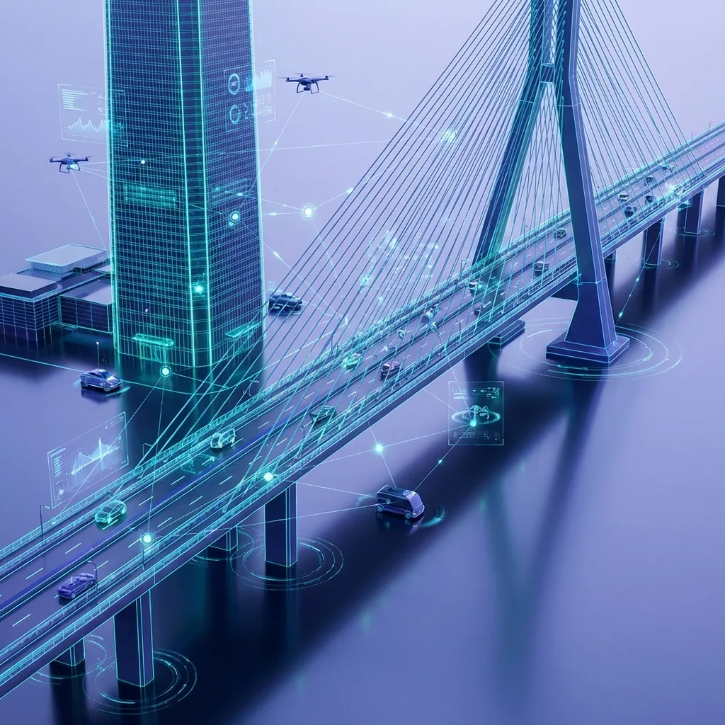
Cities Generate Massive Data
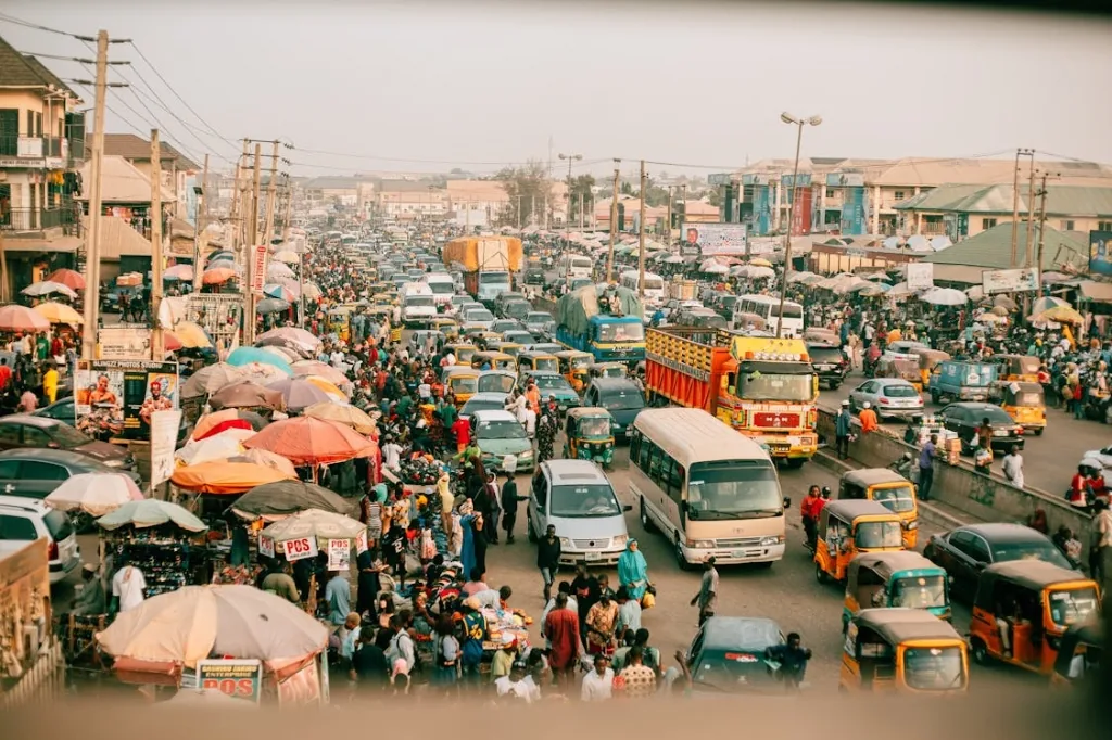
Traffic Congestion
Gridlocks and inefficient signal timing cost billions in lost productivity.
Public Safety
Slow response times to accidents and emergencies.

Infrastructure Decay
Difficulty in monitoring road conditions and asset health manually.
Data Silos
Traffic, police, and utilities operate on disconnected systems.
How KenVision Enables Smart Cities
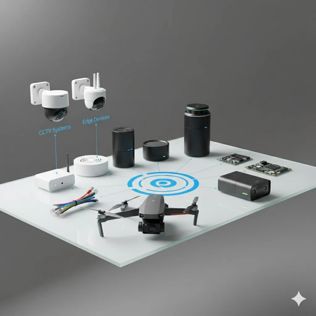
1. Data Capture
KenVision connects to existing cameras, CCTV systems, and edge devices to ingest live video streams.
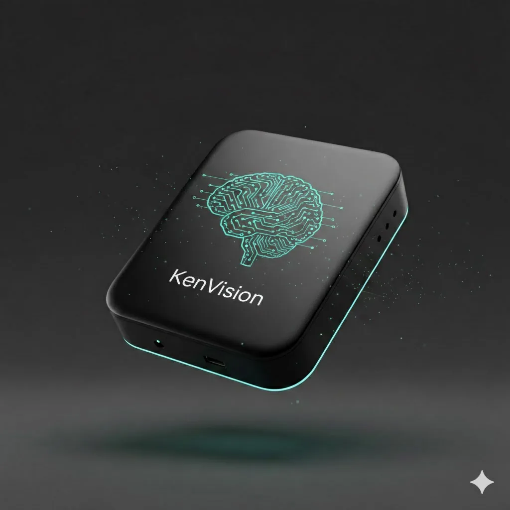
2. KenVision
The patented AI layer that processes data in real-time.
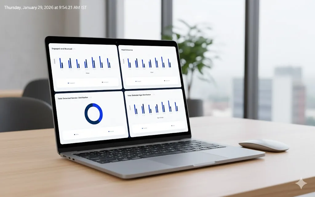
3. Actionable Outputs
Clear dashboards, alerts, and reports enable faster decisions and high-impact results.
City-Wide Intelligence

Traffic Analysis
Monitor flow, vehicle counts, and congestion hotspots.
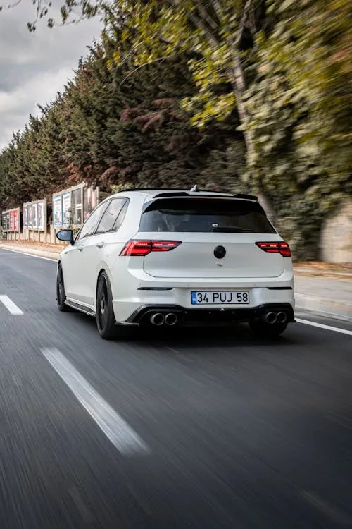
ANPR / LPR
Automatic license plate recognition for tolling and security.
Crowd Management
Monitor public gatherings and pedestrian density.
Incident Detection
Instantly identify accidents or stalled vehicles.
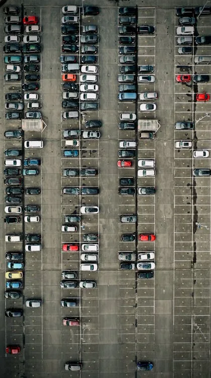
Parking Enforcement
Detect illegal parking or stopped vehicles.
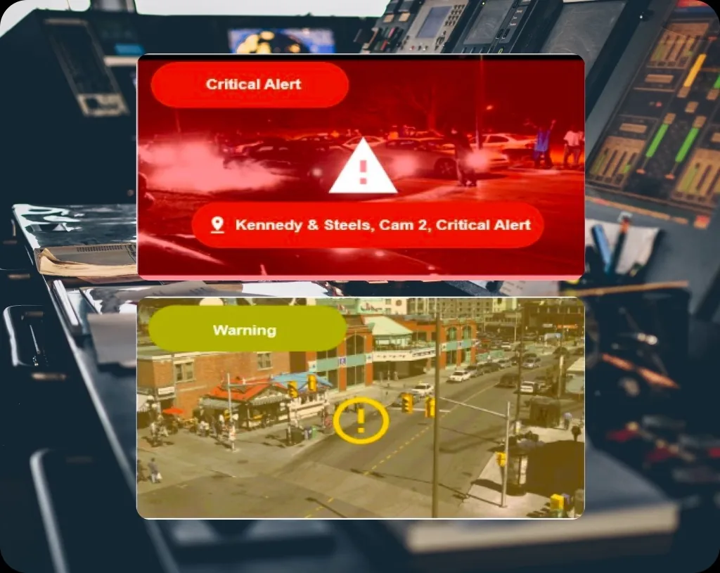
Incident Correlation
Automated correlation of events across multiple cameras into a single view.
Impact for Cities
Improved Public Safety
Detect risks early and respond faster to incidents across public spaces.
Smarter Traffic
Reduce congestion and improve mobility using real-time traffic insights.
Urban Planning
Use historical movement and usage data to plan infrastructure.
Built for City-Scale Operations
- ✓ Multi-Zone Deployments: Monitor multiple districts from a single dashboard.
- ✓ Cross-Department: Share insights securely between traffic and safety teams.
- ✓ Centralized Command: Unified view of the entire city's status.
- ✓ Scalable Expansion: Add new cameras and zones easily as the city grows.
Why it matters
Public safety depends on seeing patterns early
The difference between a managed crowd and a dangerous one is often a few minutes of warning. KenVision watches continuously and surfaces the signals that matter — without parking analysts in front of video walls.
- ✓Earlier warning. Density thresholds and flow anomalies trigger alerts before situations escalate.
- ✓Smoother movement. Flow data informs signal timing, routing and staffing across the network.
- ✓Evidence for planning. Long-run patterns justify infrastructure and operational investment.
- ✓Privacy by design. Aggregate counts and densities — not surveillance of individuals.
Crowd density over time
City-scale intelligence on the cameras already in place
Existing CCTV
Builds on current municipal and transport cameras — no new street furniture.
Privacy-first
On-prem and edge processing produces aggregate metrics, not records of individuals.
Real-time
Flows, densities and anomalies surface live, with thresholds you control.
Scalable
From one corridor to a network of intersections and public spaces.
Smart Cities FAQ
Common questions from transport and public safety teams.
Does this require new street cameras?
No. KenVision is camera-agnostic and works with the municipal and transport CCTV already deployed across the city — no new street furniture required.
How do you handle citizen privacy?
Video is processed on-prem or at the edge and only aggregate flow and density metrics are produced. The goal is understanding patterns in public space, not identifying individuals, and raw footage stays on site.
Can it alert us when a crowd gets risky?
Yes. You set density and flow thresholds, and KenVision raises real-time alerts so teams can act before a situation escalates — minutes of warning make the difference.
Can we start small?
Absolutely — begin with a single corridor or hotspot and expand to a wider network once the value is proven. The platform scales from one intersection to city-wide.
What outputs does it produce?
Vehicle and pedestrian flow counts, crowd density maps, congestion hotspot flags, threshold-based real-time alerts, and long-run trend reports for planning — all from existing camera feeds.